Participatory Mapping and Crowdmapping
The project Participatory Mapping and Crowdmapping - A collaborative experimentation - is a collaboration between the LARTU (Laboratory of Urban and Regional Analysis and Representations) of Interuniversity Department of Regional and Urban Studies and Planning (DIST) of the Politecnico di Torino and the Courses “Policies of the territory” and “Geography of Development” by Prof. E. Dansero, (Università di Torino).
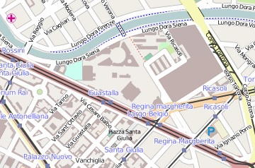
The aim of the project is to “photograph” the reality that surrounds the new “Luigi Einaudi” University Campus (CLE) , offering written evidence of the elements that express the evolution of the new identity of a portion of the urban area during the last, significant transformations.
The data collection was made with “Walking-Paper” (which is a small printed “atlas”, that limits the area of interest to one square for each group, based on the participatory mapping of Open Street Map). After this phase, the information was normalized, coded and transposed into a GIS platform using an Open Source Software Quantum GIS.